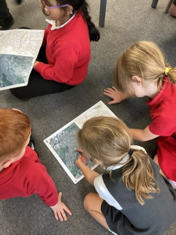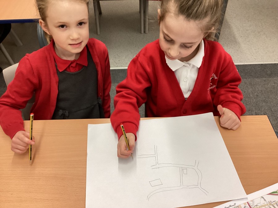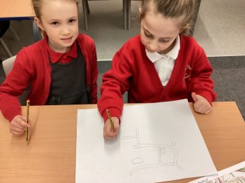
 In geography Year 2 drew their own maps of their local area and added the key features they had seen on their local walk.
16Dec2024
In geography Year 2 drew their own maps of their local area and added the key features they had seen on their local walk.
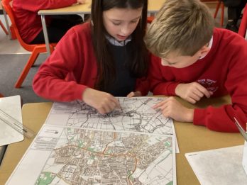
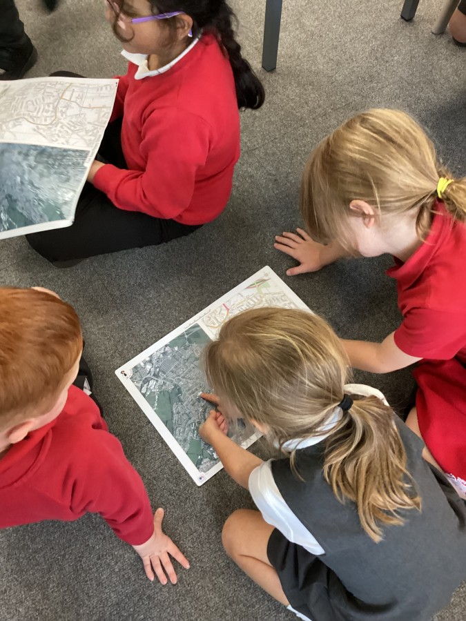
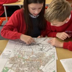 In Geography, Year 5 have been learning about settlements, identifying land use in our local area and how it has changed over the years. School has been working with Historic England to look at maps from different times.
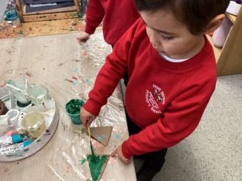
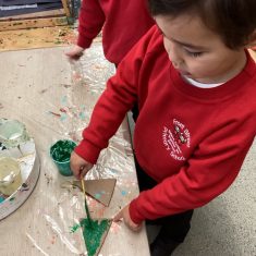 Every year, we take part in the Spoors Church Christmas tree festival. This year, our Nursery children (helped by the Art ambassadors) made special decorations, and our RE ambassadors made some too. The RE ambassadors visited the church to decorate the tree, and were given books about the Christmas
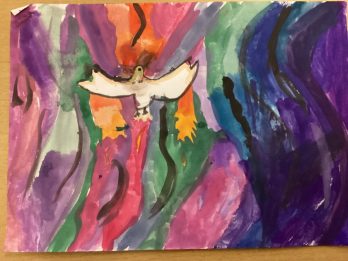
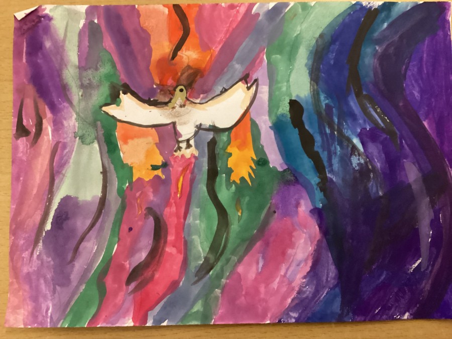
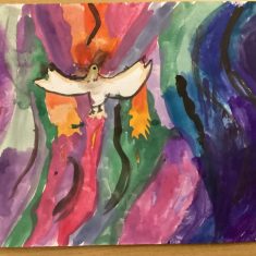 In RE, we learned about the Christian festival of Pentecost. We used symbols of Pentecost to create our own art. ;
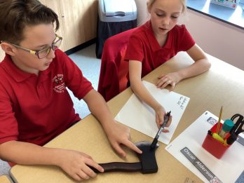
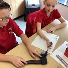 We are learning about the Anglo-Saxons in History, so we examined some artefacts, and discussed what questions we wanted to ask about them. We looked at how historians and achaeologists use sources like this to learn about the past. Article 29
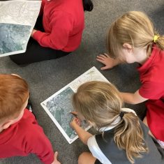 Year 2 used their geographical skills to locate features in their local environment on different maps.
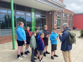
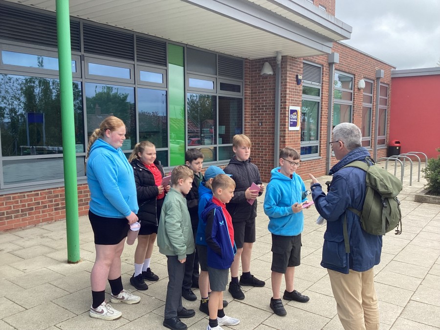
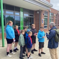 Our History Ambassadors spent the morning with Local Historian Richard Pears, who took them on a history tour around the village. During our walk, we learned all sorts of interesting facts about Whickham’s history. Did you know “Whickham” is Anglo-Saxon, meaning “estate with a quickset hedge”?

 © 2020 Front Street Primary School, Whickham. Headteacher: Mrs H. Gladstone